DIGITAL SOLUTIONS
3vGeomatics
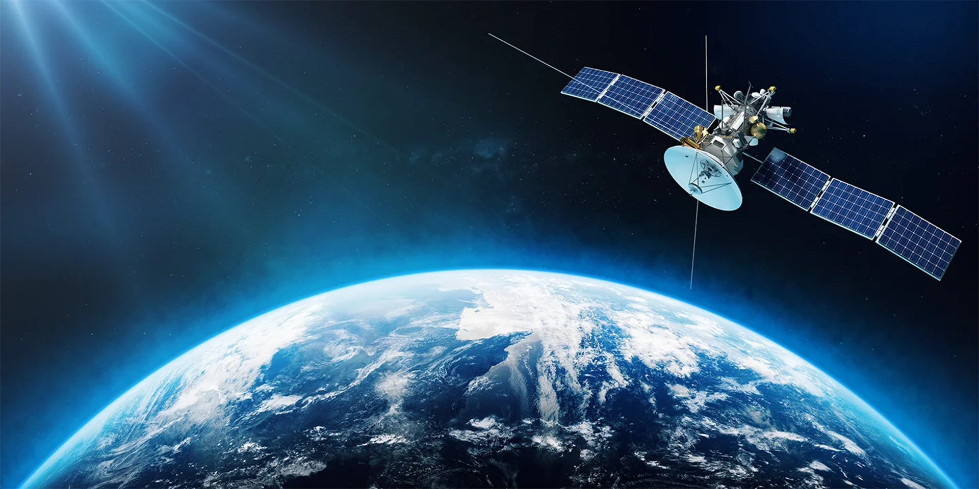
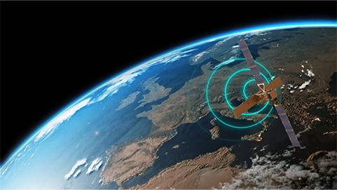
3vGeomatics specialises in remote detection and monitoring of displacement, subsidence and geohazards across large areas using Interferometric Synthetic Aperture Radar (InSAR) technology.
Monitoring movement. Mitigating risk.
Monitoring movement. Mitigating risk.
Since 2007, 3vGeomatics has specialised in remote detection and monitoring of ground and infrastructure movement using Interferometric Synthetic Aperture Radar (InSAR) technology. We are a global leader in the use of radar satellite imagery to detect and measure displacement across large areas.
Headquartered in Vancouver, Canada with an office in Belo Horizonte, Brazil. Our people deliver thousands of InSAR reports each year, supporting customers in over 40 countries across industries including mining, oil and gas, and urban infrastructure—where accurate and timely monitoring is critical to mitigating risk and protecting communities, infrastructure and the environment.
InSAR is predominantly used to detect subsidence, uplift and other ground movements. Our technology helps prevent environmental incidents, improve safety and support operational continuity.
Benefits
Benefits
Data insights
Ease of use
Social license to operate
Total cost of ownership
What we offer

Digital Solutions
Displacement DataStream

Digital Solutions
Motionary

Digital Solutions
Historical Analysis
Customer Testimonial
"I am extremely satisfied with our partnership with 3vGeomatics. Their web platform, Motionary, is very user friendly and has many attributes that makes our daily work easier".
The results delivered allowed us to validate InSAR with other instruments keeping the same level of precision. It has also helped us to identify and monitor new areas, geotechnical prospection."
Guilherme Dutra de Oliveira
Geotechnical Engineer Samarco Mining
Why choose 3vGeomatics
Why choose 3vGeomatics
InSAR has been our core focus since day one. We invest in research and development to advance the technology and deliver the best possible outcomes for our clients. We’re more than a vendor—we’re your monitoring partner.
Industries
Industries
Iron ore
Surface metal
Surface coal
Construction
Underground construction and tunnelling
Civil infrastructure
Case studies
Our 3vG industry solutions
Our 3vG industry solutions
Explore more
Orica Digital Solutions’ Geosolutions, a global leader in geotechnical, geospatial and structural monitoring. We deliver a complete portfolio, from sensors to services, for mining and civil infrastructure customers. Our expertise is grounded in Orica's innovation and technical excellence that span more than 150 years.
Contact an expert
Contact an expert
Whether you need support or simply want to learn more, reach out to our Geosolutions team. We're here to help.