Digital Solutions
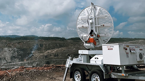
GroundProbe SSR-XT
Tactical and targeted Slope Stability Radar (SSR)
A tactical, targeted solution.
A tactical, targeted solution.
The SSR-XT is a tactical and targeted monitoring system designed to monitor movement that poses a potential or immediate threat to mine slopes, tailings dams and surrounding infrastructures.
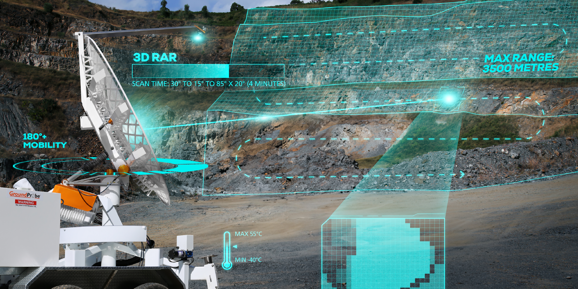
The strong precision of its 3D Real Aperture Radar (RAR) ensures that areas of concern are monitored in real-time to ensure the safety-critical management of at-risk areas.
Industries
Industries
Surface coal
Surface metal
Iron ore
Quarrying
Construction
Product features
Product features
Constant sub millimetre deformation measurement accuracy
A key benefit of interferometric-based radar technology, the SSR-XT doesn’t lose measurement accuracy as range increases. Deploy the radar 30m or 3,500m from the area of interest, and its sub-millimetre deformation measurement accuracy remains.
Robust, rugged and reliable in all conditions
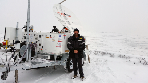
The SSR-XT is extremely durable and proven to reliably operate in inhospitable environments, including intense sun, rain, wind, snow, and humidity. Mechanically sound and delivering reliable data, the SSR-XT can be deployed at mine sites that range in temperature from -40°C to +55°C and sit at elevations up to 5,000m above sea level.
Most reputable, most proven system
As the first Slope Stability Radar ever developed, the SSR-XT has been in active service for over a decade, having undergone numerous improvements over that time. Currently in its third series, it’s the industry’s most reputable and proven system.
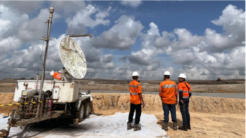
Case studies
GroundProbe® SSR XT / Slope Stability Radars / Digital Solutions
GroundProbe® SSR XT / Slope Stability Radars / Digital Solutions
Related products

Digital Solutions
GroundProbe SSR-FX Slope Stability Radar

Digital Solutions
GroundProbe SSR-SARx Slope Stability Radar

Digital Solutions
GroundProbe SSR-Omni

Digital Solutions
Geotechnical Specialist Services
GroundProbe Range

Digital Solutions
GroundProbe Software

Digital Solutions
Reactive Radars

Digital Solutions
Service and Partners

Digital Solutions
Services
Digital Solutions
Geotechnical Specialist Services
Explore more
Orica Digital Solutions’ Geosolutions, a global leader in geotechnical, geospatial and structural monitoring. We deliver a complete portfolio, from sensors to services, for mining and civil infrastructure customers. Our expertise is grounded in Orica's innovation and technical excellence that span more than 150 years.
Contact an expert
Contact an expert
Whether you need support or simply want to learn more, reach out to our Geosolutions team. We’re here to help.